The North Unit, sandwiched between Highway 44 and Interstate 90, is the one that the vast majority of visitors see, myself included. The main route through this section is the Loop Road.

I entered the Park on the northwest end, from Wall on route 240. After exploring the Sage Creek area (where I was engulfed by a herd of bison) I returned to the Loop Road and continued eastward.
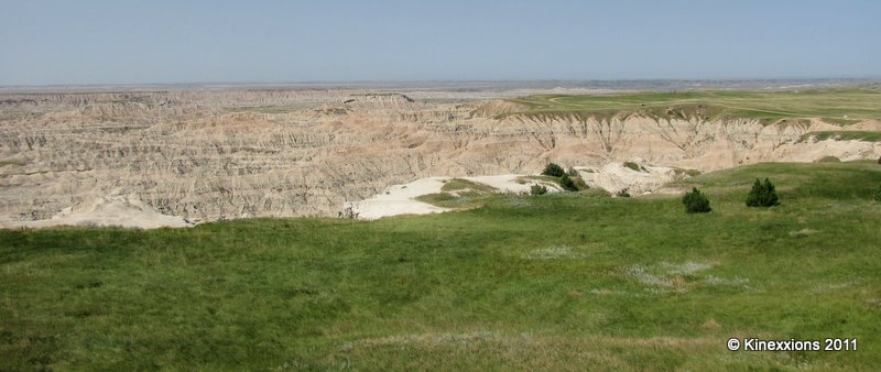
The Pinnacles Overlook area.


The Ancient Hunters Overlook. This is where evidence has been found that the Ancient Ones stampeded herds of bison over the edge of the cliff and butchered the fallen animals.

Yellow Mounds Overlook.
The yellow and red layers in the formations are fossilized soils, called paleosols. Fossil root traces, burrows, and animal bones found within the soils provide scientists with evidence of environmental and climatic changes that occurred in the badlands over time.


Driving through the Conata Basin.

The Conata Basin. See the car on the road in the lower left corner?

Homestead Overlook.
According to a sign posted at the overlook:
Homesteaders poured into the Badlands when the Milwaukee Railroad completed track through the White River Valley in 1907. Most of the homesteads turned out to be “Starvation Claims” and were abandoned or sold. Starved-out homesteaders moved on to build towns and cities, or to seek another homestead in a land less harsh. Today the ranches of this valley are measured in thousands of acres, and heavy equipment does most of the work once done by callused hands. Even so, unpredictable drought and economic crisis test ranchers today as severely as they tested homesteaders yesterday.

Fossil Trail.

Exiting the park through Cedar Pass.
1 comment:
Loved reading about the history, also am amazed at how much green there is. (On my visit, there wasn't any.) Previous post of the buffalo shots was exceptional.
Post a Comment
The ability to comment has been turned off for all blog posts effective 21 May 2018. Kinexxions has been inactive for more than two years and most comments have come to me directly via email from readers but more than a few were simply spam. My desire is to keep the blog available to the public since there is value in what has been published, particularly posts dealing with family history.
I am still extremely interested in hearing from readers who might be related and have questions or simply want contact with a distant cousin. Please contact me directly via email at kinexxions@gmail.com
This action is also being taken partially due to the General Data Protection Regulation aka "GDPR" going into effect on 25 May 2018. Even though it is a regulation implemented by the European Union that primarily affects businesses and corporations, it governs how data about people can be used. That includes comments left on blog posts, thus the ability to comment is no longer available.
Becky Wiseman - - kinexxions@gmail.com
Note: Only a member of this blog may post a comment.